
Parque El Origen topographic map
Interactive map
Click on the map to display elevation.
About this map
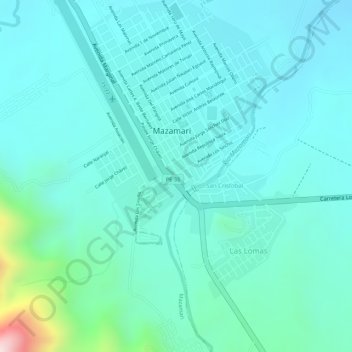
Name: Parque El Origen topographic map, elevation, terrain.
Location: Parque El Origen, Mazamari, Satipo, Junín, Perú (-11.33245 -74.53048 -11.33211 -74.53018)
Average elevation: 694 m
Minimum elevation: 614 m
Maximum elevation: 1,069 m