
Thank you for supporting this site ❤️
Make a donation
Make a donation
Gear up for your next adventure:
As an Amazon Associate, this site earns from qualifying purchases at no extra cost to you.
Nokomis topographic map
Click on the map to display elevation.
Thank you for supporting this site ❤️
Make a donation
Make a donation
Gear up for your next adventure:
As an Amazon Associate, this site earns from qualifying purchases at no extra cost to you.
About this map
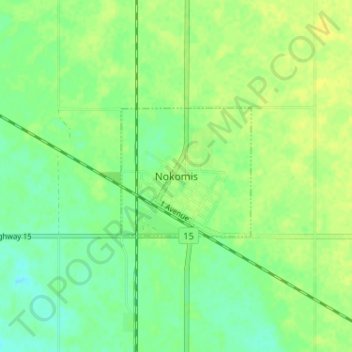
Name: Nokomis topographic map, elevation, terrain.
Location: Nokomis, Wreford No. 280, Saskatchewan, S0G 3R0, Canada (51.49045 -105.02870 51.53045 -104.98870)
Average elevation: 525 m
Minimum elevation: 515 m
Maximum elevation: 532 m
Thank you for supporting this site ❤️
Make a donation
Make a donation
Gear up for your next adventure:
As an Amazon Associate, this site earns from qualifying purchases at no extra cost to you.