
夕張郡 topographic map
Interactive map
Click on the map to display elevation.
About this map
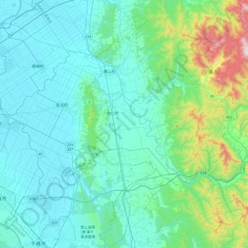
Name: 夕張郡 topographic map, elevation, terrain.
Location: 夕張郡, 空知総合振興局, Préfecture de Hokkaidō, Hokkaidō, Japon (42.83698 141.57953 43.13046 142.04358)
Average elevation: 129 m
Minimum elevation: -1 m
Maximum elevation: 848 m
Other topographic maps
Click on a map to view its topography, its elevation and its terrain.