
Menhir du Col de Pierre Levée topographic map
Interactive map
Click on the map to display elevation.
About this map
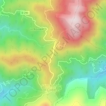
Name: Menhir du Col de Pierre Levée topographic map, elevation, terrain.
Average elevation: 603 m
Minimum elevation: 338 m
Maximum elevation: 926 m