
Oscheri/Oschiri topographic map
Interactive map
Click on the map to display elevation.
About this map
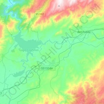
Name: Oscheri/Oschiri topographic map, elevation, terrain.
Location: Oscheri/Oschiri, Sassari, Cerdeña, 07027, Italia (40.64614 9.00235 40.83329 9.23088)
Average elevation: 346 m
Minimum elevation: 59 m
Maximum elevation: 1,087 m