Geolocate

semra topographic map

Click on the map to display elevation.

About this map

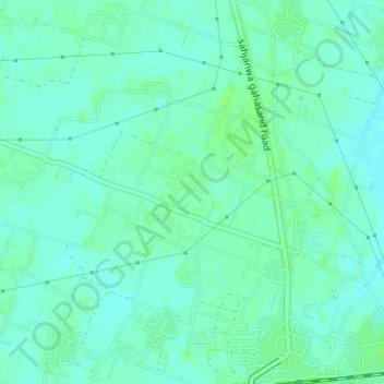
Name: semra topographic map, elevation, terrain.

Location: semra, Sahjanwa, Gorakhpur, Uttar Pradesh, India (26.77497 83.20432 26.77931 83.20881)

Average elevation: 79 m

Minimum elevation: 75 m

Maximum elevation: 83 m

Gear up for your next adventure:

📢Survival Whistles - Essential safety gear for signaling for help in mountain fog
🧭Professional Hiking Compasses - High-precision liquid-filled compasses for map reading and orientation
🦯Walking Poles - Supportive poles for long-distance walking
🎒Hiking Backpacks - Comfortable backpacks for day hikes and multi-day treks
🧤Hiking Gloves - Warm and durable gloves for cold-weather walks

As an Amazon Associate, this site earns from qualifying purchases at no extra cost to you.