
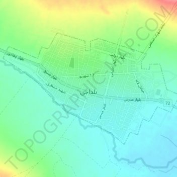
Boldaji topographic map
Interactive map
Click on the map to display elevation.
About this map
Name: Boldaji topographic map, elevation, terrain.
Average elevation: 2,254 m
Minimum elevation: 2,231 m
Maximum elevation: 2,305 m
Other topographic maps
Click on a map to view its topography, its elevation and its terrain.
دهستان حومه
Iran > Chaharmahal and Bakhtiyari Province > Borujen County
دهستان حومه, بخش مرکزی, Borujen County, Chaharmahal and Bakhtiyari Province, Iran
Average elevation: 2,340 m