
Udaypur topographic map
Interactive map
Click on the map to display elevation.
About this map
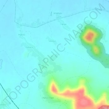
Name: Udaypur topographic map, elevation, terrain.
Location: Udaypur, Taljhari, Sahibganj (district), Jharkhand, India (24.94379 87.77180 24.95948 87.79084)
Average elevation: 48 m
Minimum elevation: 28 m
Maximum elevation: 136 m