
PTC topographic map
Interactive map
Click on the map to display elevation.
About this map
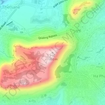
Name: PTC topographic map, elevation, terrain.
Location: PTC, Maseru, Maseru District, 100, Lesotho (-29.34427 27.48713 -29.34417 27.48723)
Average elevation: 1,649 m
Minimum elevation: 1,519 m
Maximum elevation: 1,862 m