
Maritati Township topographic map
Interactive map
Click on the map to display elevation.
About this map
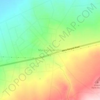
Name: Maritati Township topographic map, elevation, terrain.
Location: Maritati Township, Buuri, Meru County, Eastern, Kenya (0.06483 37.30573 0.10483 37.34573)
Average elevation: 2,512 m
Minimum elevation: 2,390 m
Maximum elevation: 2,672 m
Other topographic maps
Click on a map to view its topography, its elevation and its terrain.