
Canadang Village topographic map
Interactive map
Click on the map to display elevation.
About this map
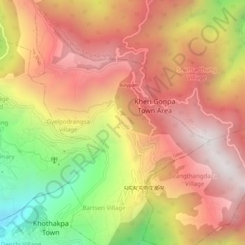
Name: Canadang Village topographic map, elevation, terrain.
Location: Canadang Village, Shumar Gewog, Pemagatshel District, Bhutan (27.02237 91.40269 27.06237 91.44269)
Average elevation: 1,661 m
Minimum elevation: 741 m
Maximum elevation: 2,296 m