
Greencastle topographic map
Interactive map
Click on the map to display elevation.
About this map
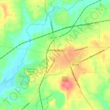
Name: Greencastle topographic map, elevation, terrain.
Location: Greencastle, Putnam County, Indiana, 46135, United States (39.62451 -86.87962 39.65862 -86.79803)
Average elevation: 236 m
Minimum elevation: 199 m
Maximum elevation: 292 m