
Shyamkur topographic map
Interactive map
Click on the map to display elevation.
About this map
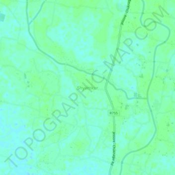
Name: Shyamkur topographic map, elevation, terrain.
Location: Shyamkur, Jessore District, Khulna Division, Bangladesh (22.95199 89.20306 22.99199 89.24306)
Average elevation: 5 m
Minimum elevation: 1 m
Maximum elevation: 8 m