
Ferrel topographic map
Interactive map
Click on the map to display elevation.
About this map
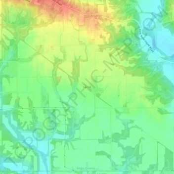
Name: Ferrel topographic map, elevation, terrain.
Location: Ferrel, Edgar County, Illinois, Estados Unidos (39.47615 -87.60502 39.51615 -87.56502)
Average elevation: 183 m
Minimum elevation: 160 m
Maximum elevation: 218 m