
Tanjung Pinang topographic map
Interactive map
Click on the map to display elevation.
About this map
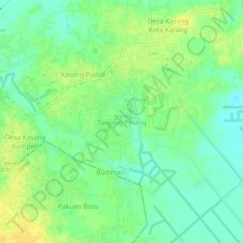
Name: Tanjung Pinang topographic map, elevation, terrain.
Location: Tanjung Pinang, Muara Papalik, Jambi, 36127, Indonesia (-1.62229 103.65685 -1.58229 103.69685)
Average elevation: 14 m
Minimum elevation: 2 m
Maximum elevation: 26 m