
Bolton topographic map
Interactive map
Click on the map to display elevation.
About this map
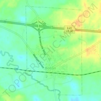
Name: Bolton topographic map, elevation, terrain.
Location: Bolton, Hinds County, Mississippi, United States (32.34205 -90.46796 32.36599 -90.45008)
Average elevation: 68 m
Minimum elevation: 55 m
Maximum elevation: 85 m