
Obersfeld topographic map
Interactive map
Click on the map to display elevation.
About this map
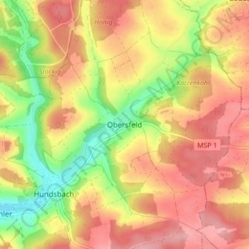
Name: Obersfeld topographic map, elevation, terrain.
Location: Obersfeld, Eußenheim, Landkreis Main-Spessart, Bavaria, Germany (50.00731 9.87621 50.04731 9.91621)
Average elevation: 271 m
Minimum elevation: 195 m
Maximum elevation: 328 m