
Mbomou topographic map
Interactive map
Click on the map to display elevation.
About this map
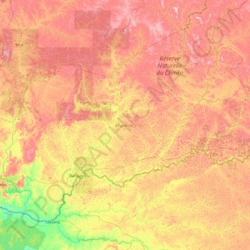
Name: Mbomou topographic map, elevation, terrain.
Location: Mbomou, Central African Republic (4.11501 21.74104 6.74445 25.17924)
Average elevation: 587 m
Minimum elevation: 385 m
Maximum elevation: 892 m
Other topographic maps
Click on a map to view its topography, its elevation and its terrain.
Tokoyo
Central African Republic > Mbomou > Tokoyo
Tokoyo, Mbomou, Central African Republic
Average elevation: 509 m