
Kerle topographic map
Interactive map
Click on the map to display elevation.
About this map
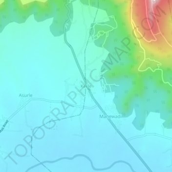
Name: Kerle topographic map, elevation, terrain.
Location: Kerle, Kolhapur, Kolhapur district, Maharashtra, India (16.75210 74.14077 16.79210 74.18077)
Average elevation: 599 m
Minimum elevation: 538 m
Maximum elevation: 914 m