
The Row topographic map
Interactive map
Click on the map to display elevation.
About this map
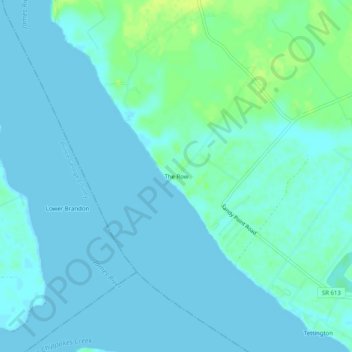
Name: The Row topographic map, elevation, terrain.
Location: The Row, Charles City County, Virginia, 23899, United States (37.23932 -76.98691 37.27932 -76.94691)
Average elevation: 4 m
Minimum elevation: 0 m
Maximum elevation: 16 m