
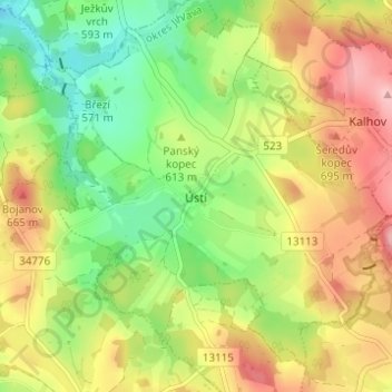
Ústí topographic map
Interactive map
Click on the map to display elevation.
About this map
Name: Ústí topographic map, elevation, terrain.
Location: Ústí, okres Jihlava, Kraj Vysočina, Southeast, 58842, Czechia (49.45338 15.39442 49.49338 15.43442)
Average elevation: 610 m
Minimum elevation: 540 m
Maximum elevation: 689 m