Geolocate

Mont Hawk topographic map

Click on the map to display elevation.

About this map

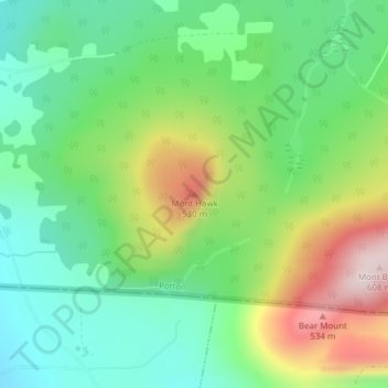
Name: Mont Hawk topographic map, elevation, terrain.

Location: Mont Hawk, Potton, Memphrémagog, Estrie, Quebec, Canada (45.01199 -72.33145 45.01209 -72.33135)

Average elevation: 345 m

Minimum elevation: 207 m

Maximum elevation: 595 m

Gear up for your next adventure:

🧥Packable Down Jackets - Lightweight warmth that compresses small in your bag
📚UK Hiking Guidebooks - Detailed route descriptions for the Lake District, Peaks, and Highlands
📱Phone Mounts for Hiking - Secure mounts to carry your phone on trails
🥤Hydration Bladders - Hands-free hydration systems for backpacks
🥫Expedition Meals - Lightweight, high-calorie nutrition for long-distance hikers

As an Amazon Associate, this site earns from qualifying purchases at no extra cost to you.