
Rush topographic map
Interactive map
Click on the map to display elevation.
About this map
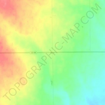
Name: Rush topographic map, elevation, terrain.
Location: Rush, El Paso County, Colorado, United States (38.81999 -104.11218 38.85999 -104.07218)
Average elevation: 1,835 m
Minimum elevation: 1,802 m
Maximum elevation: 1,869 m