
Aigen am Inn topographic map
Interactive map
Click on the map to display elevation.
About this map
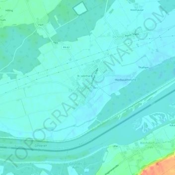
Name: Aigen am Inn topographic map, elevation, terrain.
Average elevation: 329 m
Minimum elevation: 321 m
Maximum elevation: 372 m
Other topographic maps
Click on a map to view its topography, its elevation and its terrain.
94072
Deutschland > Bayern > Landkreis Passau > Bad Füssing > Riedenburg
94072, Riedenburg, Bad Füssing, Landkreis Passau, Bayern, Deutschland
Average elevation: 322 m