
Willoughby Hills topographic map
Interactive map
Click on the map to display elevation.
About this map
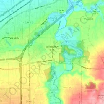
Name: Willoughby Hills topographic map, elevation, terrain.
Location: Willoughby Hills, Lake County, Ohio, États-Unis d'Amérique (41.56967 -81.48817 41.62151 -81.39095)
Average elevation: 241 m
Minimum elevation: 183 m
Maximum elevation: 333 m