
Provincia de Sánchez Carrión topographic map
Interactive map
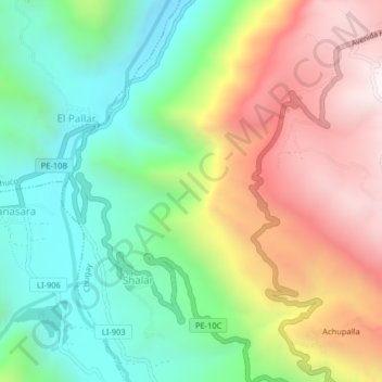
Click on the map to display elevation.
About this map
Name: Provincia de Sánchez Carrión topographic map, elevation, terrain.
Average elevation: 2,800 m
Minimum elevation: 2,287 m
Maximum elevation: 3,522 m
Other topographic maps
Click on a map to view its topography, its elevation and its terrain.
Uchuy
Perú > La Libertad > Chugay
Uchuy, Chugay, Sánchez Carrión, La Libertad, Perú
Average elevation: 2,676 m