
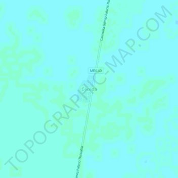
Ceceda topographic map
Interactive map
Click on the map to display elevation.
About this map
Name: Ceceda topographic map, elevation, terrain.
Location: Ceceda, Tlahualilo, Durango, México (26.05185 -103.42393 26.09185 -103.38393)
Average elevation: 1,095 m
Minimum elevation: 1,093 m
Maximum elevation: 1,096 m