
Lodebar topographic map
Interactive map
Click on the map to display elevation.
About this map
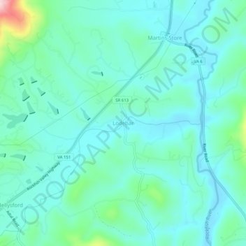
Name: Lodebar topographic map, elevation, terrain.
Location: Lodebar, Nelson County, Virginia, Estados Unidos de América (37.88375 -78.86891 37.92375 -78.82891)
Average elevation: 213 m
Minimum elevation: 167 m
Maximum elevation: 423 m