
Pulau Pemana topographic map
Interactive map
Click on the map to display elevation.
About this map
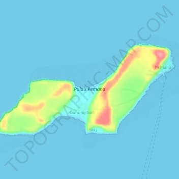
Name: Pulau Pemana topographic map, elevation, terrain.
Location: Pulau Pemana, Pemana, Sikka, East Nusa Tenggara, Indonesia (-8.36876 122.27558 -8.34483 122.32289)
Average elevation: 10 m
Minimum elevation: 0 m
Maximum elevation: 86 m