
Winchester topographic map
Click on the map to display elevation.
About this map
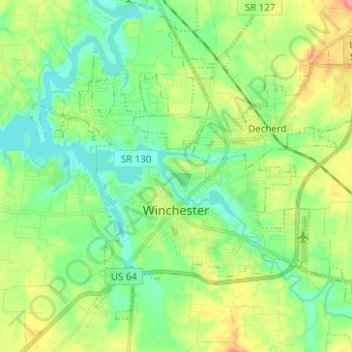
Name: Winchester topographic map, elevation, terrain.
Average elevation: 293 m
Minimum elevation: 266 m
Maximum elevation: 346 m
Other topographic maps
Click on a map to view its topography, its elevation and its terrain.
Sewanee
United States > Tennessee > Franklin County > Sewanee > Saint Andrews
Average elevation: 573 m