Geolocate

Macabaclay topographic map

Click on the map to display elevation.

About this map

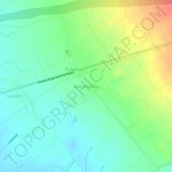
Name: Macabaclay topographic map, elevation, terrain.

Location: Macabaclay, Nueva Ecija, Central Luzon, 3128, Philippines (15.62116 121.15601 15.66116 121.19601)

Average elevation: 90 m

Minimum elevation: 72 m

Maximum elevation: 124 m

Other topographic maps

Click on a map to view its topography, its elevation and its terrain.

Cuyapo

Philippines > Nueva Ecija

Average elevation: 41 m

Peñaranda

Philippines > Nueva Ecija

Average elevation: 39 m

Aliaga

Philippines > Nueva Ecija

Average elevation: 26 m

Quezon

Philippines > Nueva Ecija

Average elevation: 28 m

Gear up for your next adventure:

📦Dry Bags - Waterproof bags to protect gear from rain
🌄Outdoor Binoculars - Compact binoculars for landscape observation
🦟Anti-Midge & Tick Repellent - Vital for hiking in the Scottish Highlands during summer
👟Heavy Duty Boot Laces - Always carry a spare for your hiking footwear
📱Phone Mounts for Hiking - Secure mounts to carry your phone on trails

As an Amazon Associate, this site earns from qualifying purchases at no extra cost to you.