
Puerto Morazán topographic map
Interactive map
Click on the map to display elevation.
About this map
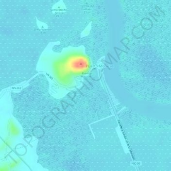
Name: Puerto Morazán topographic map, elevation, terrain.
Average elevation: 6 m
Minimum elevation: 0 m
Maximum elevation: 64 m
Other topographic maps
Click on a map to view its topography, its elevation and its terrain.
Somotillo (Municipio)
Nicaragua > Chinandega > Somotillo (Municipio)
Somotillo (Municipio), Chinandega, 26800, Nicaragua
Average elevation: 81 m
San Andrés
Nicaragua > Chinandega > El Viejo (Municipio) > San Andrés
San Andrés, El Viejo (Municipio), Chinandega, 26200, Nicaragua
Average elevation: 23 m