
Jaghatu topographic map
Interactive map
Click on the map to display elevation.
About this map
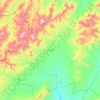
Name: Jaghatu topographic map, elevation, terrain.
Location: Jaghatu, Maidan Wardak Province, Afghanistan (33.68082 68.16609 34.01668 68.52875)
Average elevation: 2,814 m
Minimum elevation: 2,270 m
Maximum elevation: 3,856 m