
Tetanchet topographic map
Interactive map
Click on the map to display elevation.
About this map
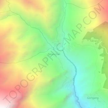
Name: Tetanchet topographic map, elevation, terrain.
Location: Tetanchet, Parbati Kunda, Rasuwa, Bagmati Province, Nepal (28.19507 85.26144 28.23507 85.30144)
Average elevation: 2,671 m
Minimum elevation: 1,808 m
Maximum elevation: 3,866 m
Other topographic maps
Click on a map to view its topography, its elevation and its terrain.