
Delani topographic map
Interactive map
Click on the map to display elevation.
About this map
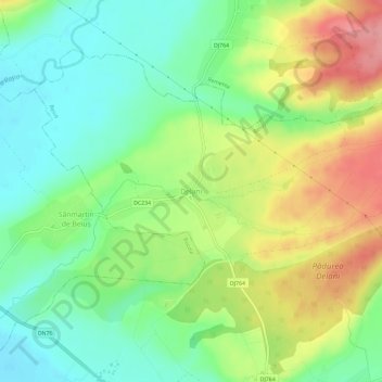
Name: Delani topographic map, elevation, terrain.
Location: Delani, Beiuș, Bihor, 415201, Romania (46.67366 22.31959 46.71366 22.35959)
Average elevation: 209 m
Minimum elevation: 169 m
Maximum elevation: 269 m
Other topographic maps
Click on a map to view its topography, its elevation and its terrain.