
Untersiggenthal topographic map
Interactive map
Click on the map to display elevation.
About this map
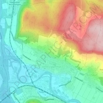
Name: Untersiggenthal topographic map, elevation, terrain.
Location: Untersiggenthal, Bezirk Baden, Aargau, Switzerland (47.48833 8.23285 47.51940 8.28009)
Average elevation: 425 m
Minimum elevation: 322 m
Maximum elevation: 598 m
Other topographic maps
Click on a map to view its topography, its elevation and its terrain.
Limmat
Switzerland > Aargau > Bezirk Baden > Würenlos
Limmat, Würenlos, Bezirk Baden, Aargau, Switzerland
Average elevation: 477 m