Geolocate

Engure topographic map

Click on the map to display elevation.

About this map

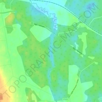
Name: Engure topographic map, elevation, terrain.

Location: Engure, Usmas pagasts, Ventspils novads, Courland, Latvia (57.24333 22.07004 57.27441 22.08581)

Average elevation: 28 m

Minimum elevation: 14 m

Maximum elevation: 51 m

Gear up for your next adventure:

🧦Merino Wool Hiking Socks - Moisture-wicking socks to prevent blisters during long mountain walks
🕶️Glacier Goggles - Maximum protection for high-altitude snow topography
🧗Locking Carabiners - Secure gear to your pack or for light technical use
🪓Outdoor Multitools - Versatile tools for hiking and camping
📷Camera Straps - Secure straps for carrying cameras while walking

As an Amazon Associate, this site earns from qualifying purchases at no extra cost to you.