
Le Brandeau topographic map
Interactive map
Click on the map to display elevation.
About this map
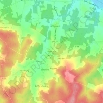
Name: Le Brandeau topographic map, elevation, terrain.
Average elevation: 149 m
Minimum elevation: 93 m
Maximum elevation: 209 m
Other topographic maps
Click on a map to view its topography, its elevation and its terrain.
L'Agneau
France > Nouvelle-Aquitaine > Charente > Vouzan
L'Agneau, Vouzan, Angoulême, Charente, Nouvelle-Aquitaine, France métropolitaine, 16410, France
Average elevation: 159 m