
Murshidābād topographic map
Interactive map
Click on the map to display elevation.
About this map
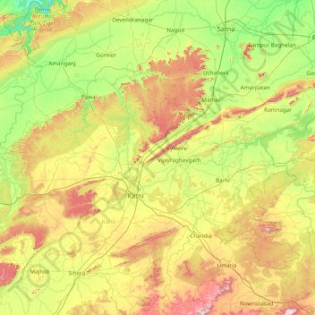
Name: Murshidābād topographic map, elevation, terrain.
Location: Murshidābād, Katni, Madhya Pradesh, India (23.30000 79.80000 24.70000 81.20000)
Average elevation: 401 m
Minimum elevation: 206 m
Maximum elevation: 839 m