
Coral topographic map
Interactive map
Click on the map to display elevation.
About this map
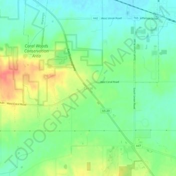
Name: Coral topographic map, elevation, terrain.
Location: Coral, McHenry County, Illinois, 60180, United States (42.19725 -88.58454 42.23725 -88.54454)
Average elevation: 271 m
Minimum elevation: 250 m
Maximum elevation: 307 m