
Beni Messous topographic map
Interactive map
Click on the map to display elevation.
About this map
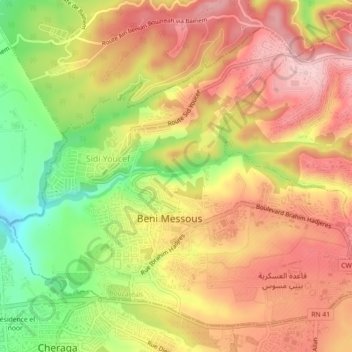
Name: Beni Messous topographic map, elevation, terrain.
Location: Beni Messous, Bouzareah District, Algiers, Algeria (36.76911 2.95410 36.79966 2.99897)
Average elevation: 218 m
Minimum elevation: 99 m
Maximum elevation: 305 m