
足寄町 topographic map
Interactive map
Click on the map to display elevation.
About this map
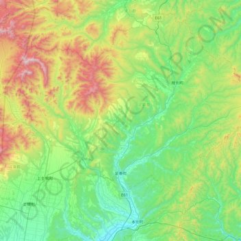
Name: 足寄町 topographic map, elevation, terrain.
Location: 足寄町, 足寄郡, 十勝総合振興局, Präfektur Hokkaido, 089-3725, Japan (43.18870 143.21124 43.55930 144.02980)
Average elevation: 439 m
Minimum elevation: 33 m
Maximum elevation: 1,597 m