
Faraba topographic map
Interactive map
Click on the map to display elevation.
About this map
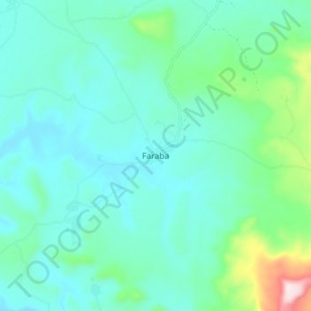
Name: Faraba topographic map, elevation, terrain.
Location: Faraba, Kéniéba Cercle, Kayes, Mali (12.39323 -10.93808 12.47323 -10.85808)
Average elevation: 236 m
Minimum elevation: 158 m
Maximum elevation: 583 m