
Cullercoats topographic map
Interactive map
Click on the map to display elevation.
About this map
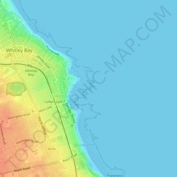
Name: Cullercoats topographic map, elevation, terrain.
Average elevation: 10 m
Minimum elevation: -1 m
Maximum elevation: 40 m
Other topographic maps
Click on a map to view its topography, its elevation and its terrain.
King Edwards Bay
United Kingdom > England > North Tyneside > Tynemouth
King Edwards Bay, Tynemouth, North Tyneside, North of Tyne, England, NE30 4EB, United Kingdom
Average elevation: 10 m