Geolocate

Resurrection Bay topographic map

Click on the map to display elevation.

About this map

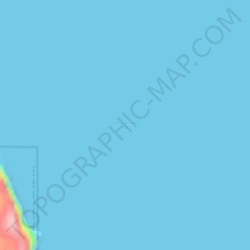
Name: Resurrection Bay topographic map, elevation, terrain.

Location: Resurrection Bay, Kenai Peninsula, Alaska, United States (60.00606 -149.36949 60.00616 -149.36939)

Average elevation: 3 m

Minimum elevation: 0 m

Maximum elevation: 162 m

Other topographic maps

Click on a map to view its topography, its elevation and its terrain.

Homer

United States > Alaska > Kenai Peninsula

Many of the birds seen during the festival can be identified with the help of published guides that categorize distinguishable features such as, topography, silhouette, size, and color.

Average elevation: 104 m

Moose Pass

United States > Alaska > Kenai Peninsula

Average elevation: 643 m

Tustumena Lake

United States > Alaska > Kenai Peninsula

Average elevation: 197 m

Seward

United States > Alaska > Kenai Peninsula > Seward

Average elevation: 328 m

Sterling

United States > Alaska > Kenai Peninsula

Average elevation: 78 m

Kenai

United States > Alaska > Kenai Peninsula

Average elevation: 16 m

Gear up for your next adventure:

🔋Lithium AA Batteries - Long-lasting power that performs well in cold mountain weather
🧼Camping Hygiene Kits - Compact hygiene essentials for outdoor stays
🛌Sleeping Bags - Warm and packable sleeping bags for outdoor nights
🥫Expedition Meals - Lightweight, high-calorie nutrition for long-distance hikers
🗺️Scratch-off Peak Maps - Track your progress climbing Munros or Wainwrights

As an Amazon Associate, this site earns from qualifying purchases at no extra cost to you.