
Frane topographic map
Interactive map
Click on the map to display elevation.
About this map
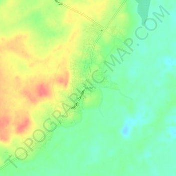
Name: Frane topographic map, elevation, terrain.
Location: Frane, N'Goussa, N'Goussa District, Ouargla, Algeria (32.22034 5.29565 32.26034 5.33565)
Average elevation: 127 m
Minimum elevation: 102 m
Maximum elevation: 159 m