
Pīpalkoti topographic map
Interactive map
Click on the map to display elevation.
About this map
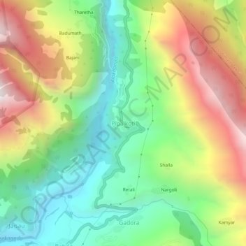
Name: Pīpalkoti topographic map, elevation, terrain.
Location: Pīpalkoti, Chamoli, Uttarakhand, Indien (30.41350 79.40841 30.45350 79.44841)
Average elevation: 1,623 m
Minimum elevation: 1,040 m
Maximum elevation: 2,466 m