
Stelingen topographic map
Interactive map
Click on the map to display elevation.
About this map
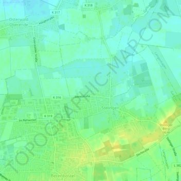
Name: Stelingen topographic map, elevation, terrain.
Location: Stelingen, Garbsen, Region Hannover, Niedersachsen, Deutschland (52.43820 9.59489 52.46522 9.64538)
Average elevation: 53 m
Minimum elevation: 45 m
Maximum elevation: 64 m