
Morse topographic map
Interactive map
Click on the map to display elevation.
About this map
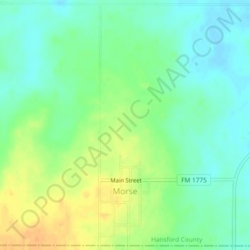
Name: Morse topographic map, elevation, terrain.
Location: Morse, Hansford County, Texas, Estados Unidos (36.05527 -101.47998 36.08144 -101.47269)
Average elevation: 969 m
Minimum elevation: 955 m
Maximum elevation: 989 m