
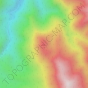
Bukit Batu Asah topographic map
Interactive map
Click on the map to display elevation.
About this map
Name: Bukit Batu Asah topographic map, elevation, terrain.
Average elevation: 1,253 m
Minimum elevation: 901 m
Maximum elevation: 1,606 m
Other topographic maps
Click on a map to view its topography, its elevation and its terrain.
Kerinci Seblat National Park
Indonesia > Jambi > Sungai Penuh
Kerinci Seblat National Park, Sungai Penuh, Jambi, Indonesia
Average elevation: 339 m